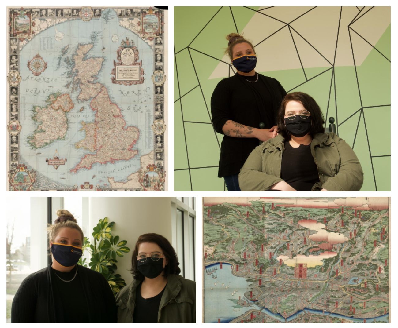
Morgan Day and Teri Honeycutt are senior interns at the Osher Map Library and Smith Center for Cartographic Education, located on the Portland campus within the Glickman Library. The purpose of the map library is to preserve and share history, heritage, and information with students and the general public through its archives. They facilitate public engagement by hosting two gallery exhibits a year, curated either by staff members or partnerships with other institutions. Honeycutt and Day have received the wonderful opportunity of creating a student-run exhibit called Where Will We Go From Here; Mapping Travel in the Age of Covid-19.
Honeycutt grew up in Detroit, a little town in central Maine. “I was going to attend Orono, but they’re actively defunding their history program. I liked the idea of being around the Portland area and USM was just the natural choice for me,” she states. Honeycutt began attending the university in the fall of 2016. “I was going to be an English major because it was my best subject in high school, but once I got to USM I found I really enjoyed learning about history,” she said. “I think knowing about history is important for knowing how to live our lives in the present and in the future.” Honeycutt chose to pursue a BA in History because of this fascination.
Morgan Day’s journey to her interests and to her major took a few more turns. Day moved from the historic district of Middle Haddam, Connecticut to Maine to attend the university. “I didn’t want to stay in Connecticut, and I felt like there wasn’t a place to grow outside of my comfort zone.” She attended the University of New England for two years for marine science before switching to a major in art but found the university did not “facilitate the program” in a way that would allow Day to grow as an artist. She decided to transfer to USM in 2018 to pursue her BA in art history.
Day’s love for objects and aesthetics, Honeycutt’s passion for history, and both of their interests in time made them the perfect pair for their blossoming exhibit. The gallery exhibit’s purpose is to document the experiences of those affected by the global pandemic. The idea came from the Executive Director of the Osher Map Library, Libby Bischof. The goal of the exhibit is to create a physical representation, using maps, of where people didn’t get to travel to because of Covid-19 restrictions. “What we are doing is compiling maps that represent the trip not taken,” she describes. “For example, I was supposed to go to Germany that summer, and I wasn’t able to go, so for my entry, we have gathered a map of Germany and it represents the trip I wasn’t able to take.”
The stories behind the maps were crowd-sourced via a survey that received over 100 responses. Day reveals “40 maps will be in the gallery space, but all entries will be on the Osher website for the public to view.” The maps are gathered from the Osher Map library’s digital archive. “We chose a diverse selection of maps to represent a large range of travel documentation,” says Honeycutt. “Some maps are topographical information of the area, we have satellite imagery maps, we even have maps that display locations of lighthouses which is thematically different from our other maps”. In order to find the kind of unique and niche maps they wanted, they had to adapt to new techniques. “I was looking for St. Petersburg, Russia,” Honeycutt explains, “but couldn’t find much, so I searched under its old name–Petrograd and Stalingrad–and suddenly there were dozens more available,” Day added that for a project like this, getting creative with the parameters is necessary.
Another thing they have had to adapt to with this exhibit is its short timeframe; “A normal exhibit would take well over a semester just for curating, and would stay up at least one academic year. We’ve had less time to curate, and our exhibit will only be displayed until next fall,” Day stated. However, they both agree the short timeframe is beneficial in the long run. “I know in the future I will be prepared because of this. I’ll be able to say ‘Oh you need this in a week? I’ll get it to you tomorrow,” says Day.
The exhibit release date is to be announced in early May, but the public will be able to view it in person by appointment at the Osher Map Library and Smith Center for Cartographic Education, as well as view the larger exhibit online. Both curators are currently working on the labels for the maps that will display all the information about the maps such as what it is, where it’s from, and what it’s made out of. If you’re interested in learning more about the exhibits at the Osher Map Library please visit their website, and make sure to check back for the release of Where Will We Go From Here: Travel in the Age of Covid-19 in May.
Both Honeycutt and Day will be graduating this May with a history and art history degree respectively, and both have plans to attend graduate school. Day will be attending Boston University beginning this fall and she hopes to fulfill her tattoo apprenticeship someday. Honeycutt plans to take time off before attending American University in Washington DC for graduate school to study museum studies and public history.

